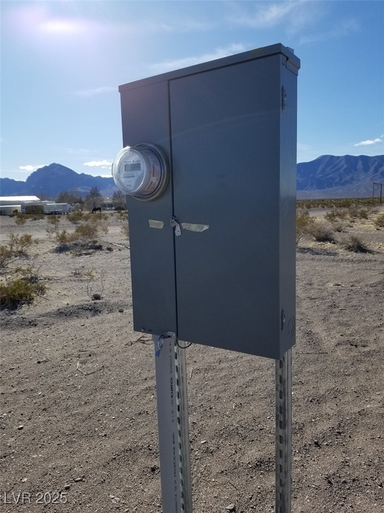
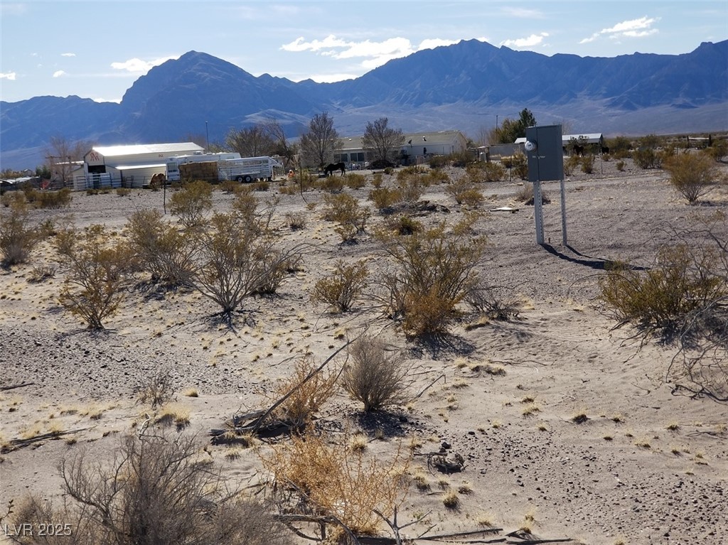
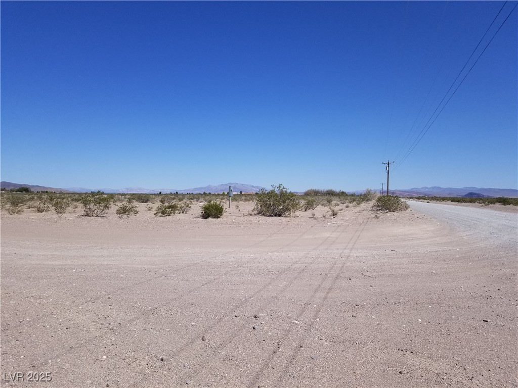
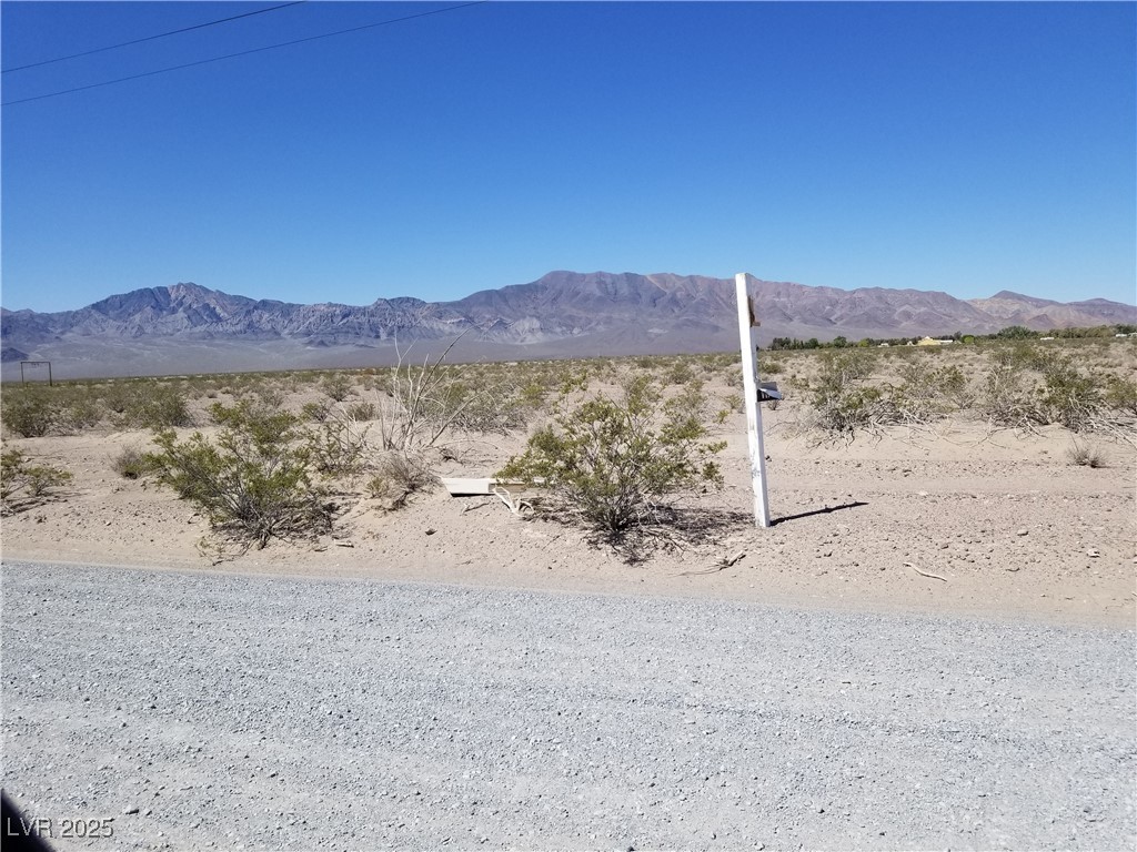
Existing onsite Power Pedestal Box
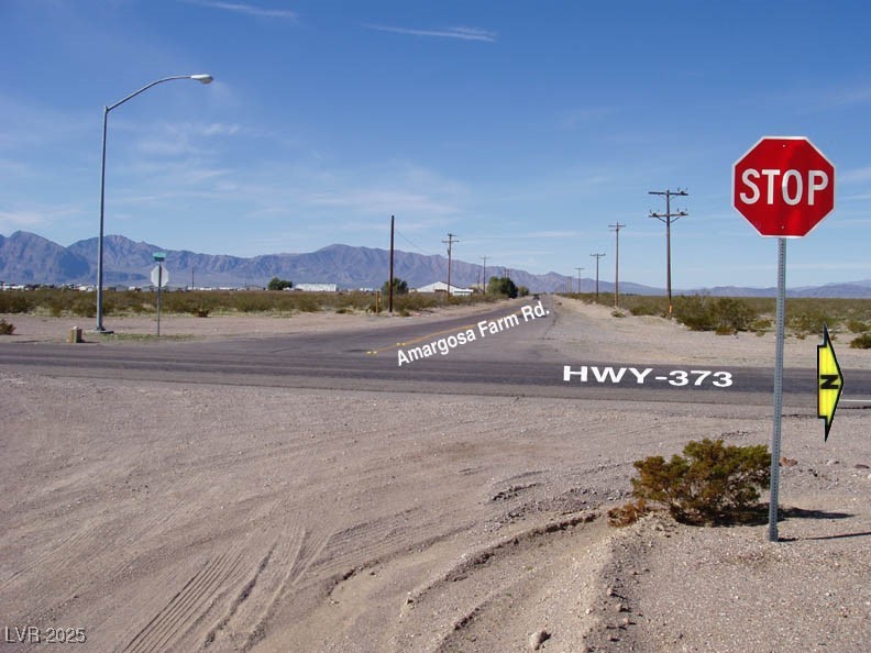
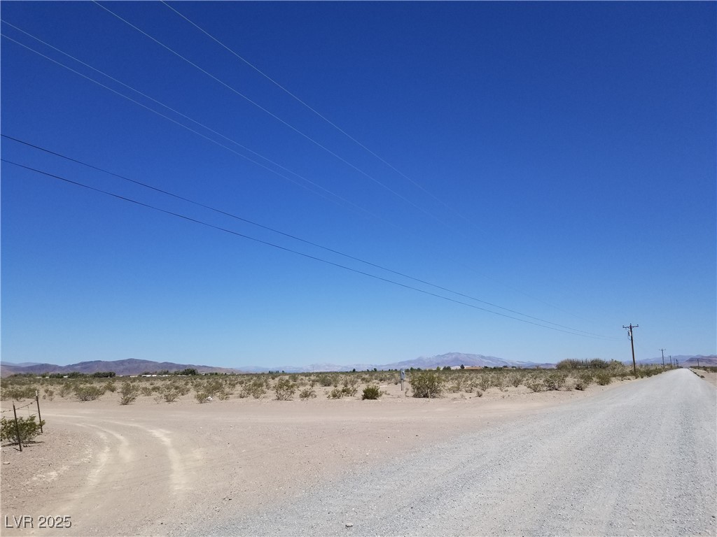
View West from Intersection of Amargosa Farm Rd. & Hwy-373
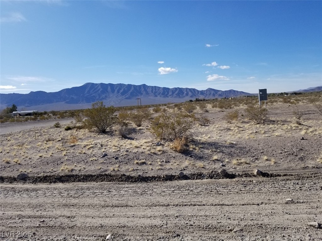
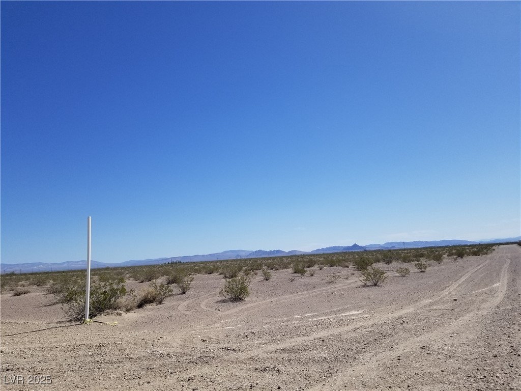
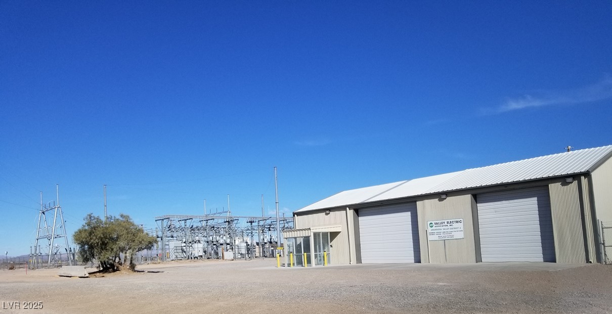
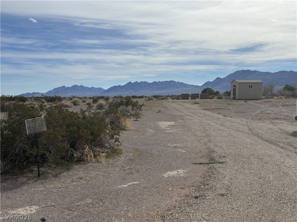
Onsite power pedestal and area - mountains to southwest and neighboring property
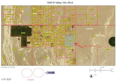
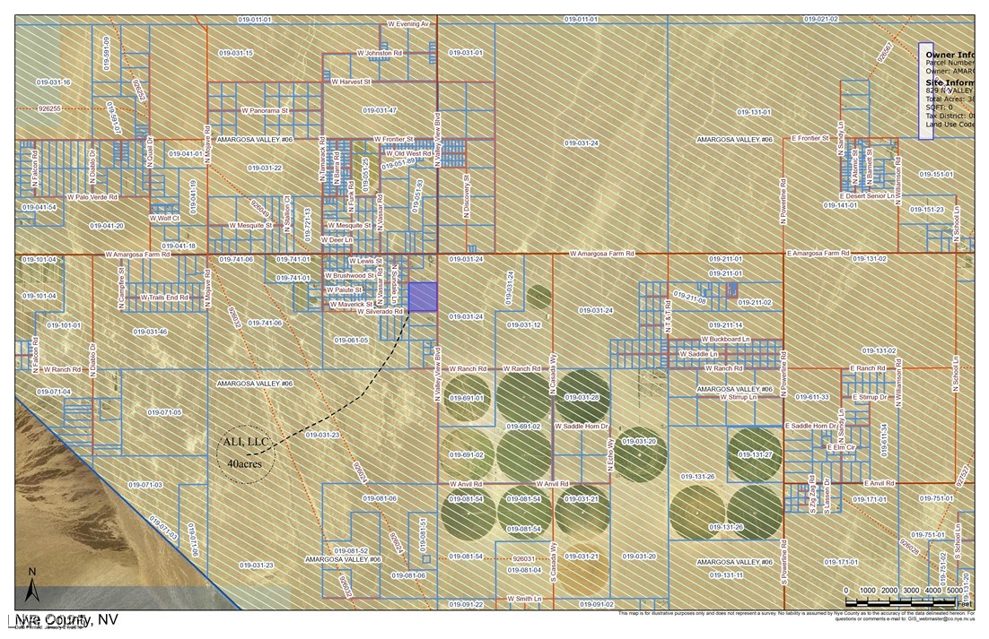
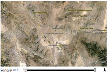
Amargosa Valley Map and SUBJECT acreage
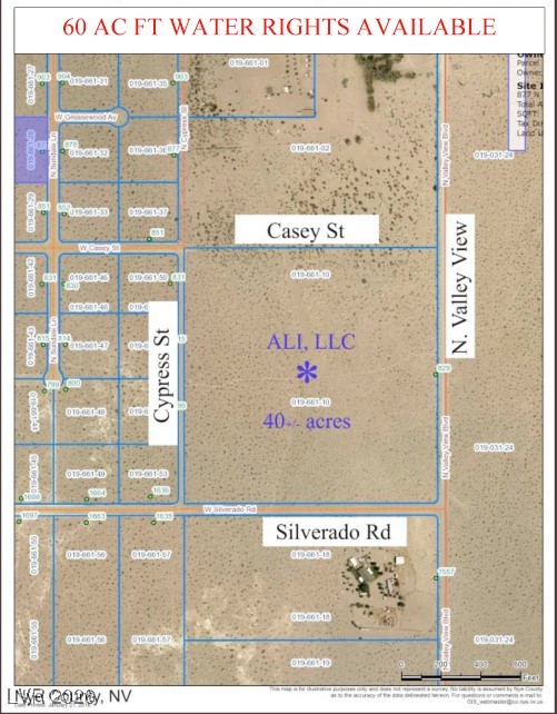
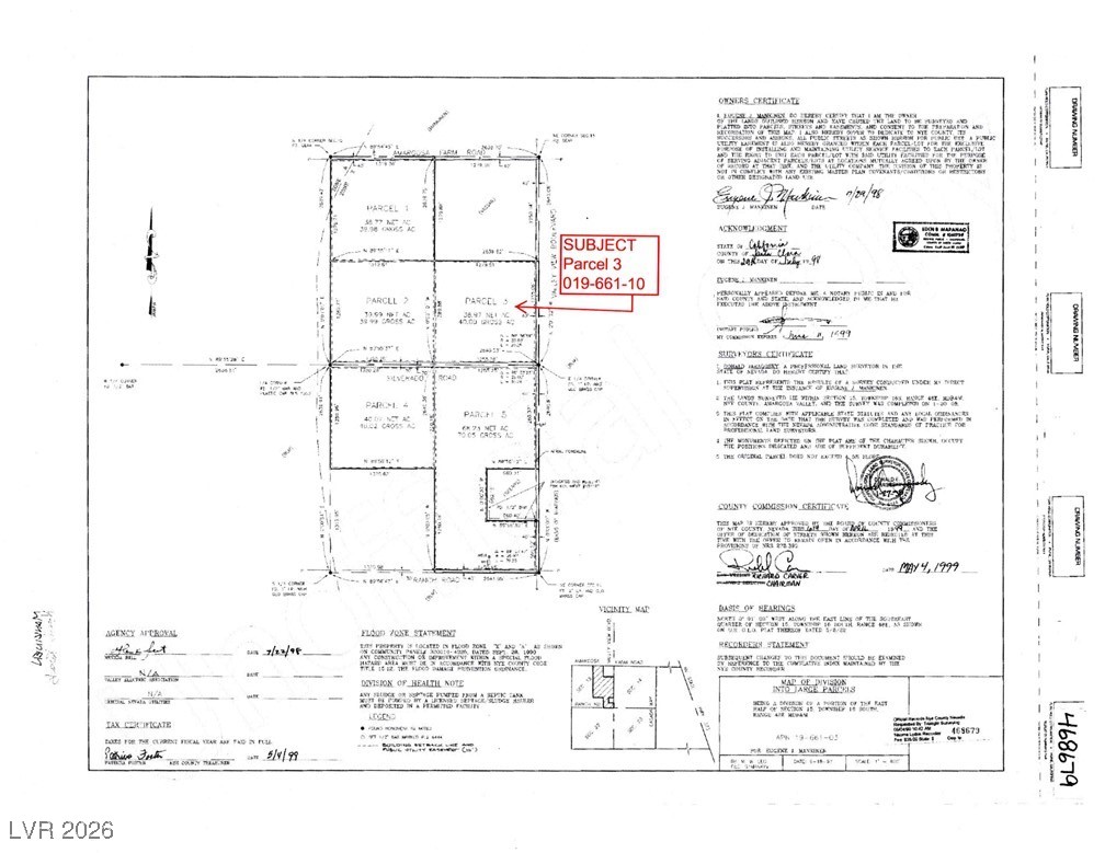
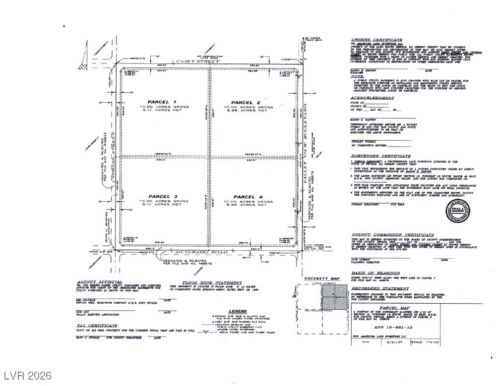
Survey Map - potential future Parcel Map (now expired) with staked corners
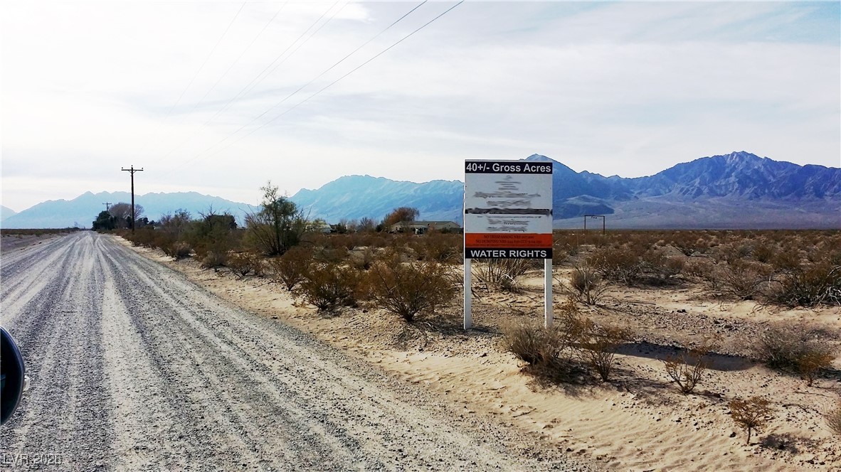
Valley View Blvd subject signage - view South/Southwest along Valley View Blvd with 38.97acres & Funeral mountain range on right (West side of Valley View Blvd)
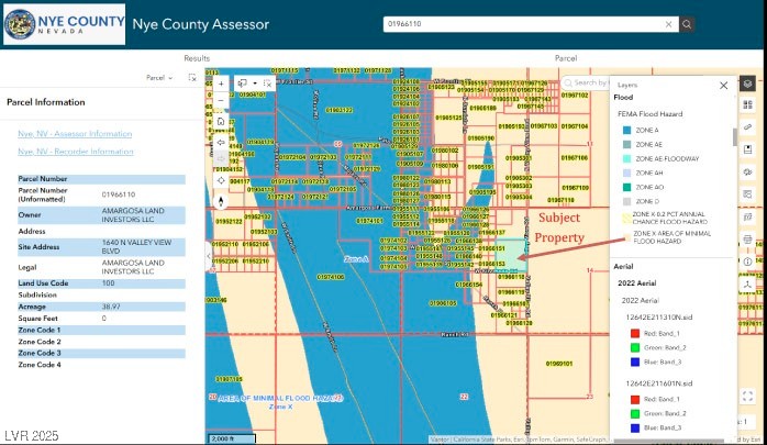
Flood Zone Map - subject property is in Zone "X" (location of minimal flood hazard - no flood insurance required) - ready to build!
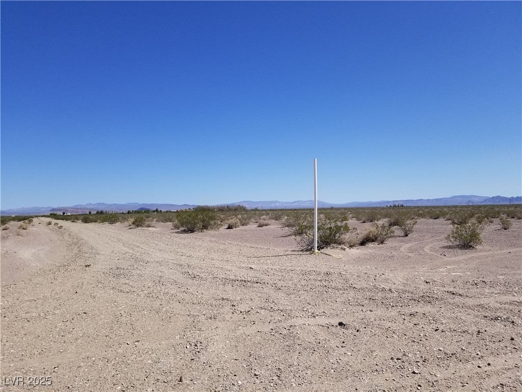
Onsite Power Pedestal - view west
View NW of the 38.97acres from Valley View & Silverado of the 38.97acres
View North across Silverado along Valley View & the 38.97acres
View NE along Casey from Casey & Silverado across the 38.97acres
View East from along Silverado from Casey of the 38.97acres
View W/SW from Valley View approx midway point across the 38.97acres
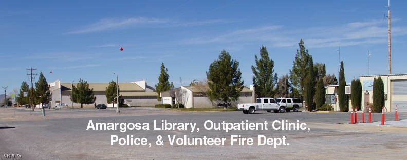
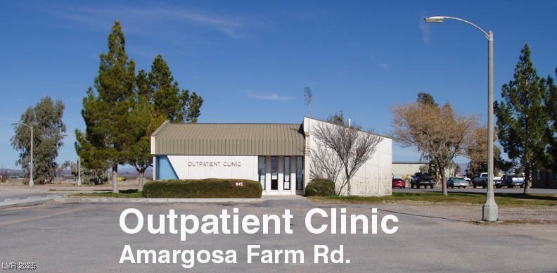
Amargosa Library, Outpatient Clinic, Police & Volunteer Fire Dept. - approx 5miles away on Amargosa Farm Rd
Amargosa Outpatient Clinic - approx 5miles away on Amargosa Farm Rd
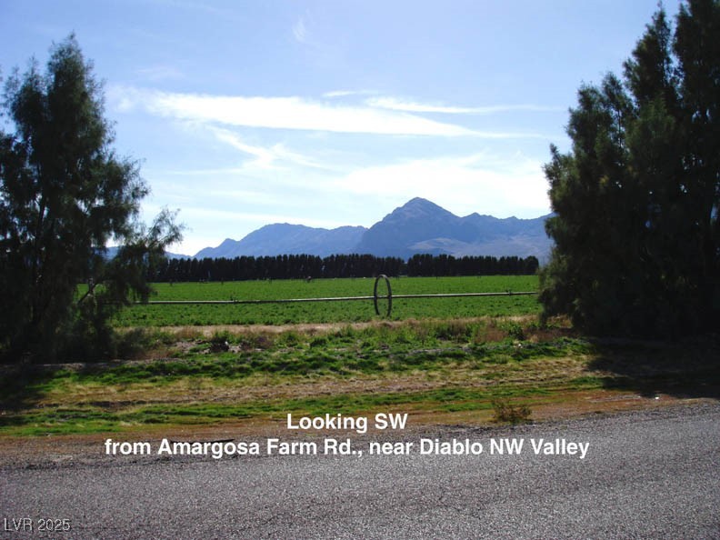
Looking SW from Amargosa Farm Rd near Diablo NW Valley
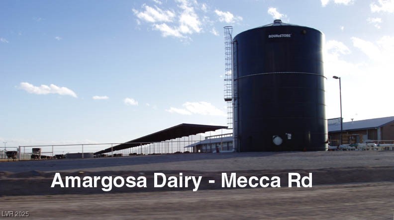
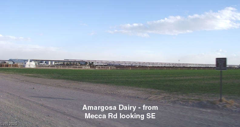
Amargosa Dairy Farm on Mecca Rd
Amargosa Dairy Farm on Mecca Rd
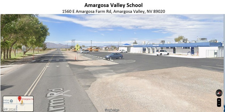
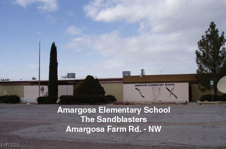
Amargosa Elementary School - approx 5miles away at 1560 E Amargosa Farm Rd, Amargosa Valley, NV 89020
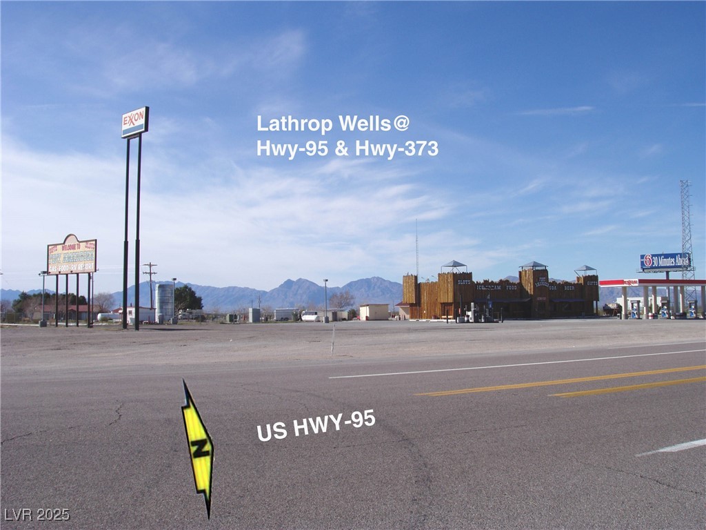
Lathrop Wells & US-95/Hwy-373
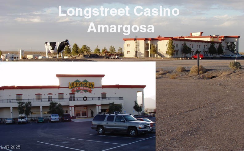
Nearby Amargosa Longhorn Hotel, restaurant, Casino & RV Resort - approx 12 miles southeast
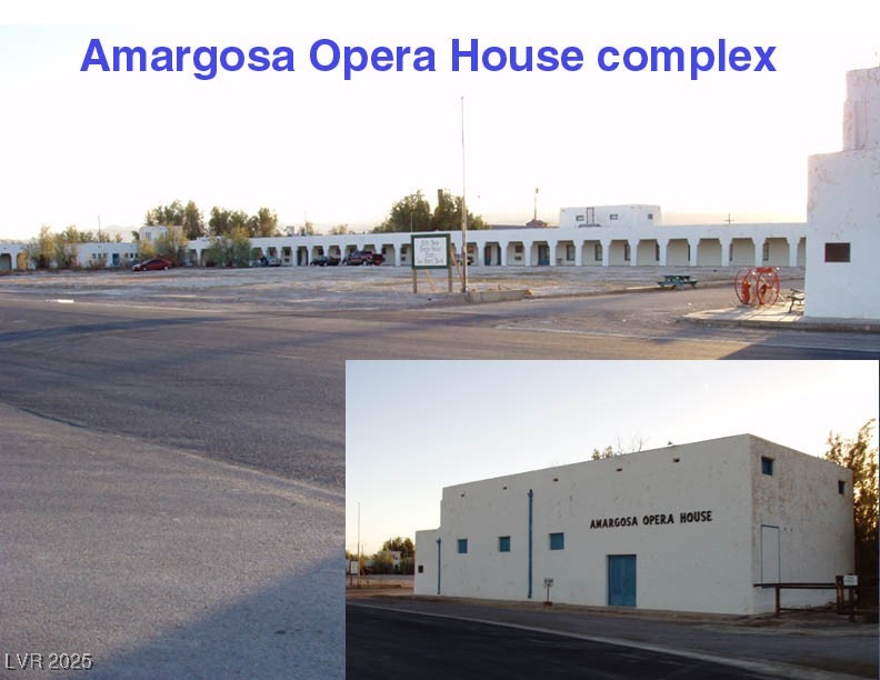
Nearby Amargosa Opera House Complex - approx 20 miles SE
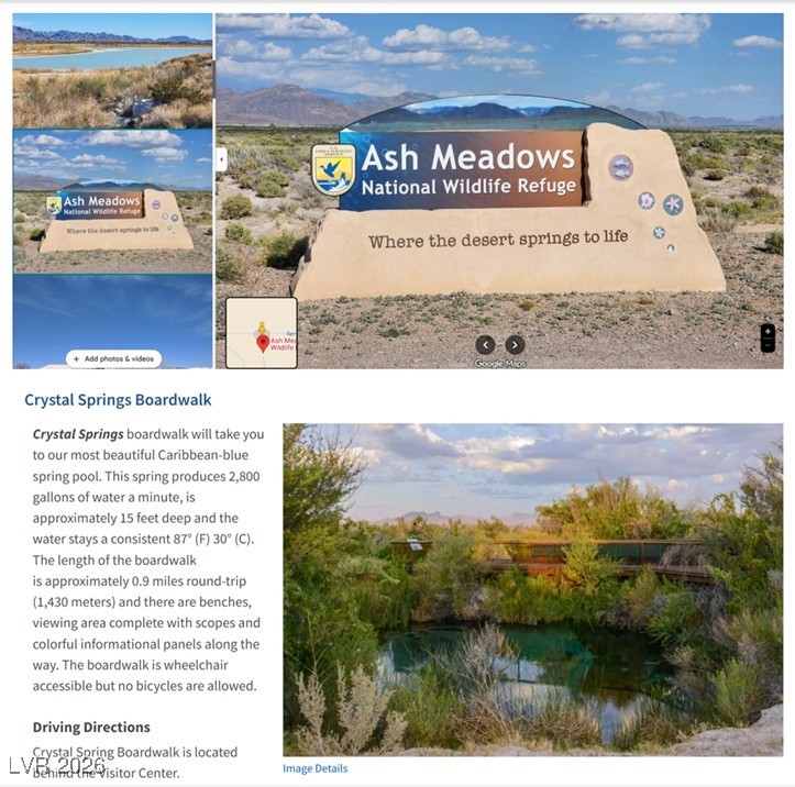
Approx 15 miles away is Ash Meadows National Wildlife Refuge -23,000+/- acres of refuge for exploring, picnicking, hunting, birding and ...